


Archive of all ‘’ Articles
How Do I… Use Urban Terrain
Wednesday, March 23rd, 2011When laying out terrain on the tabletop battlefield, most forms of terrain are pretty easy and obvious to fit within the context of the Combat Cards. Woods are typically a Template of Covering Terrain, swamps are Templates of Hindering Terrain, hedges are Linear Obstructing Terrain and so on. The one form of terrain that often gives players fits is the dreaded ‘built up’ or ‘urban’ areas (e.g. cities, towns, villages and buildings).
Should urban areas be Templates of Impassable terrain? Or should each wall of a building be Linear Covering Terrain? Should roads be Clear Open Terrain, or should the walls and hedges that often run along them force them to be Obstructing Terrain? As players will play a host of different scales, genres and battlefield sizes there really isn’t a single authoritative answer to the question. What follows are some ideas which have proven effective in different types of games. Hopefully one them, or some combination of them, will help you lay out a better battlefield for your games. (more…)
Scenario Design… Troop Quality
Tuesday, March 22nd, 2011When designing scenarios, the question often comes up of how to reflect of training, experience leadership and other intangible qualities of a fighting force on the battlefield. In the Combat Cards, there is a very simple and easy mechanism for doing this – the Command Unit. The ability of Command Units to pass Actions along to other nearby units determines how efficiently cards can be played during the battle. This affect on efficiency can be used to elevate units to an elite status for a given scenario, or to downgrade them to a poorly led force. (more…)
How Do I… Use Hex Maps
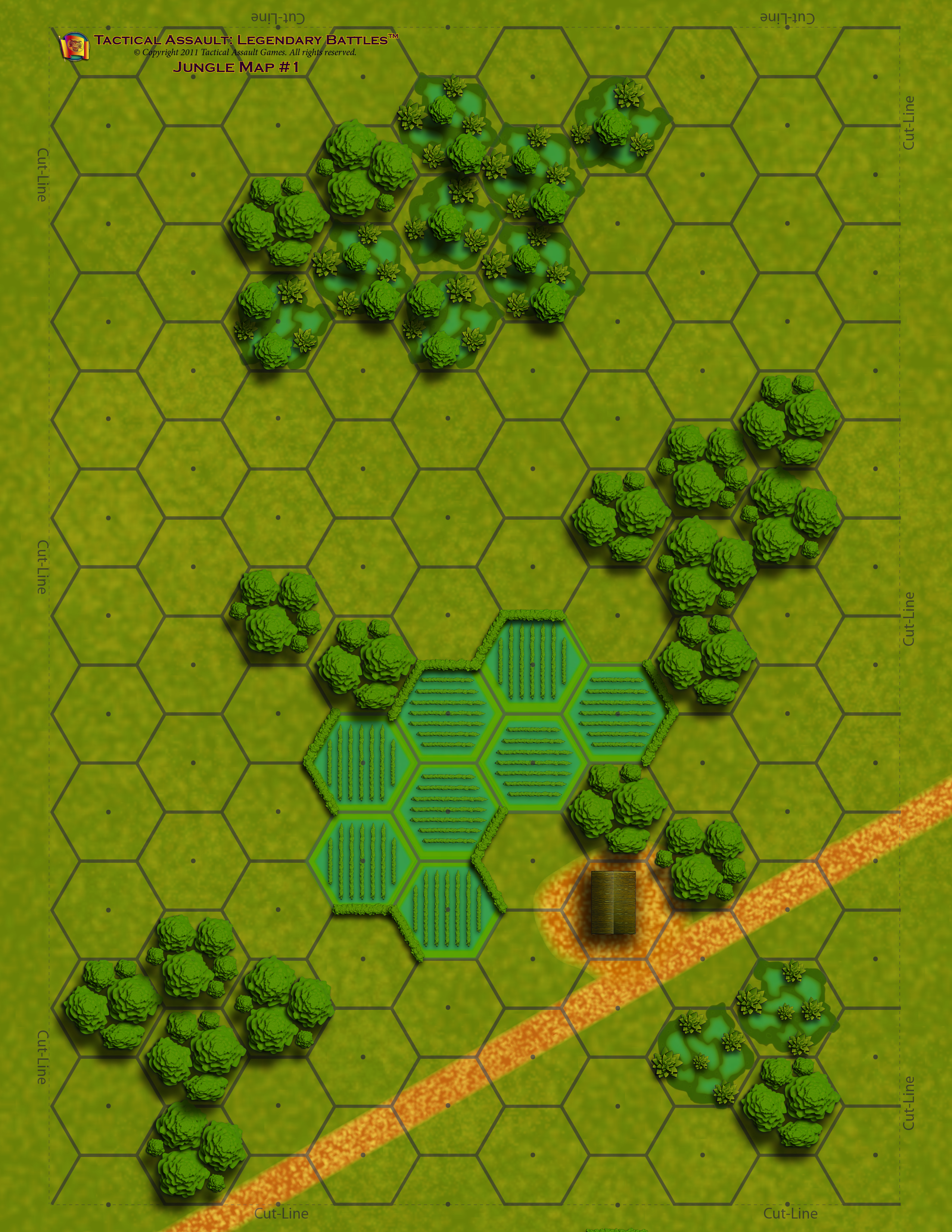
Thursday, March 10th, 2011To play either the Combat Cards or the Fantasy Cards on a hex based map is very simple. In the either game, you take the shortest side and use that distance as your Very Long distance for the game. Half of that distance is the Long range, and so on. Well, instead of measuring that distance in inches or centimeters, you will simply measure it in terms of hexes.
Now some things do need a little tweaking to work, but they are very minor. When doing the math to determine distances, keep all the fractions as you half each distance. Then, when everything has been calculated, round any fractions to the nearest whole hex (up or down as appropriate). (more…)